Мюлуз, свідок століть
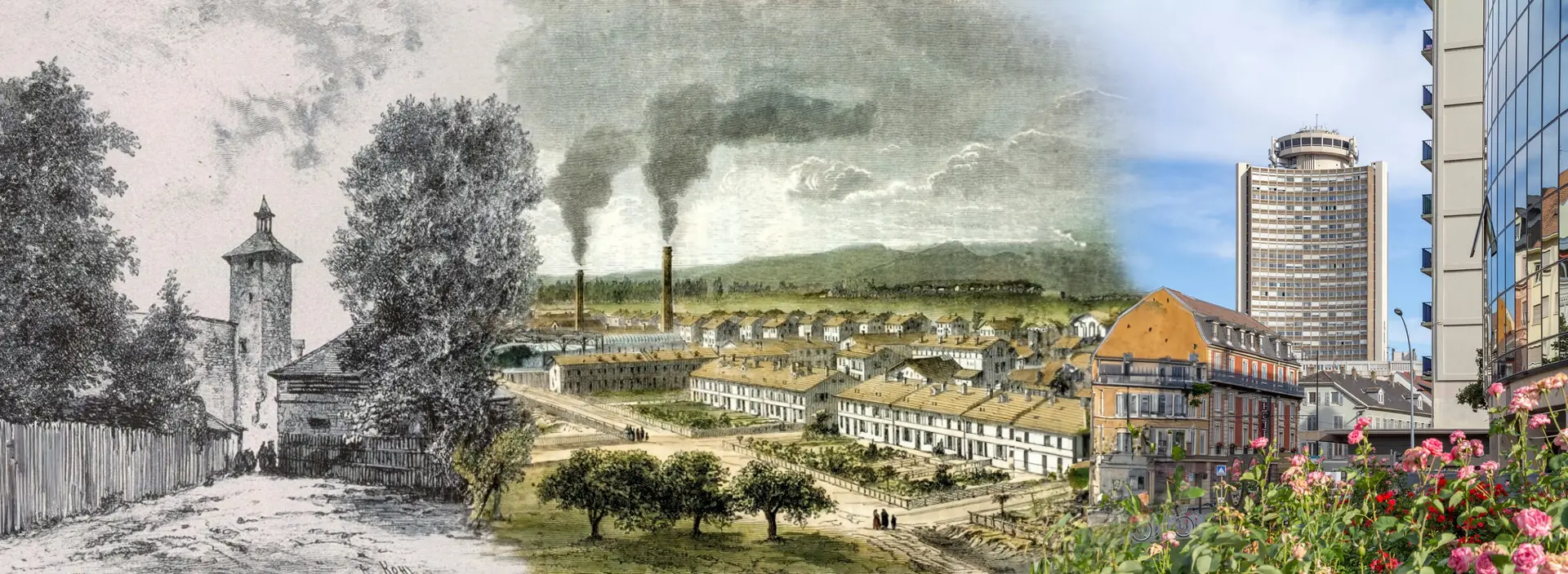
Від кельтської колиски до сучасного міста: місто у постійному русі
Відкрийте захоплюючу історію Мюлуза, яка перетинає епохи, від його кельтських витоків у 1000 році до н.е. до його важливої промислової ролі та недавніх екологічних трансформацій у 2024 році. Кожна епоха залишила стійкий слід. Сьогодні Мюлуз, підтримуваний різноманітним та відданим населенням, постійно перевинаходить себе. Він втілює ідеальний баланс між традицією та інновацією, де кожен камінь і кожна вулиця свідчать про багате минуле, динамічне сьогодення та багатообіцяюче майбутнє.
Джерела
Wikipedia - Aéroport international de Bâle-Mulhouse - Mapcarta - Bourtzwille - https://fr.wikipedia.org/wiki/Tramway_de_Mulhouse - Wikipedia - Tram-train Mulhouse Vallée de la Thur - Wikipedia - TGV Rhin-Rhône - FACS - Tram-train et tramways de Mulhouse - m2A - Mulhouse Alsace Agglomération - Tram-train - Wikipedia - Mulhouse Tramway (version allemande) - Le Livre Scolaire - French Moments - Mulhouse History - HAL Archives Ouvertes - Mulhouse and its History - Structurae - Gare de Mulhouse Ville - Histoires et Lieux d'Alsace - VHC magazine - Extrait de L’Histoire de Mulhouse en 111 dates
Історичні плани Мюлуза
Картографічна еволюція міста з 1642 по 1943 роки
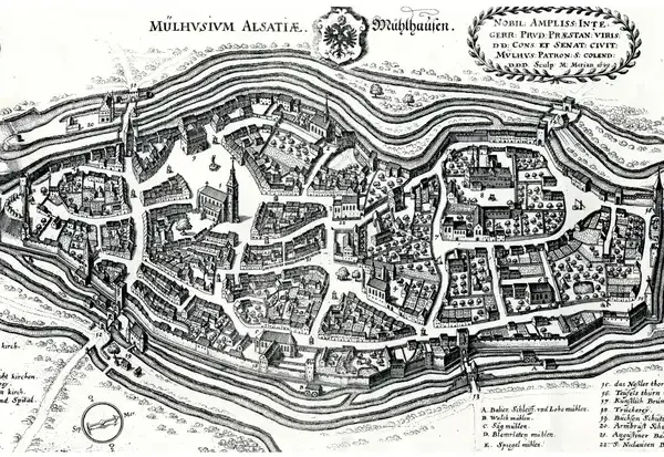
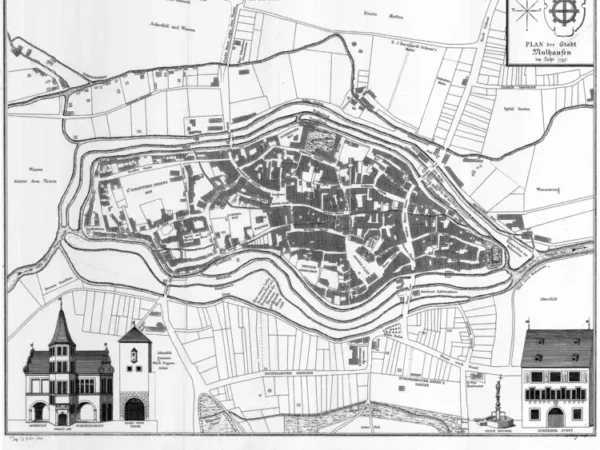
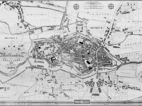
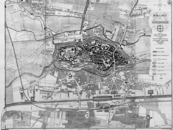
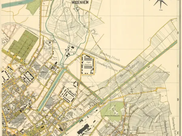
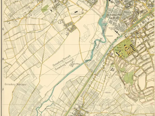
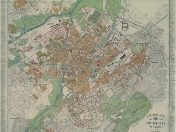
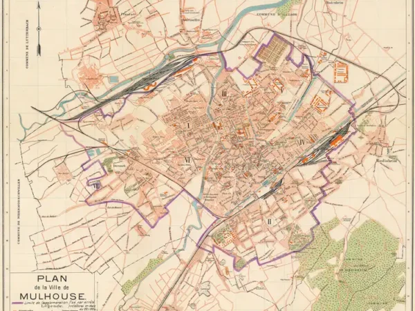
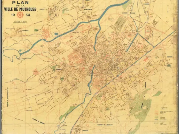
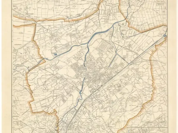
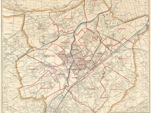
Досліджуйте історичні плани, які відтворюють трансформації Мюлуза між 1642 та 1943 роками. Через ці карти ви відкриєте для себе урбаністичний розвиток міста: його перші укріплення, промислові розширення XIX століття та потрясіння, пов'язані з двома світовими війнами. Кожен план є вікном в історію Мюлуза, показуючи, як його вулиці, будівлі та квартали змінювалися протягом століть, свідчачи про його постійний розвиток.
- 1642
- 1797
- 1830
- 1844
- 1850
- 1860
- 1873
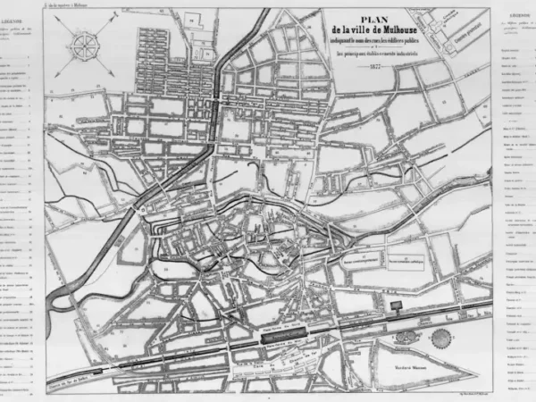
- 1877
- 1886
- 1886
- 1886
- 1896
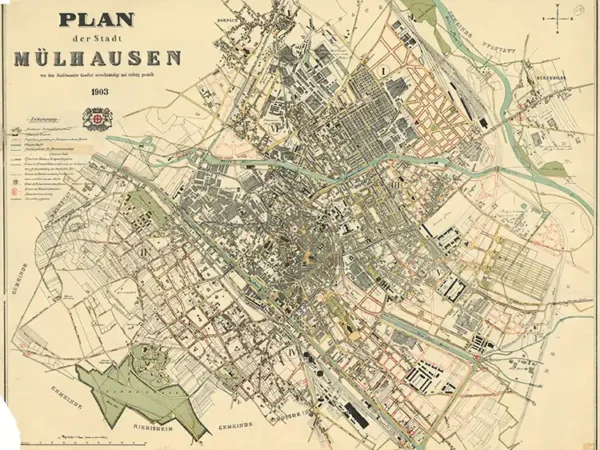
- 1903
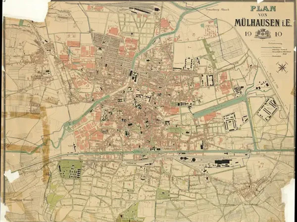
- 1910
- 1911
- 1911
- 1911
- 1911
- 1912
- 1919
- 1934
- 1943
- 1943
-
Plan of the City of Mulhouse based on the original belonging to the Historical Museum of Mulhouse
Année du plan : 1797
Échelle du plan : 1/2500
Scan to open the map in high resolution, or download it

-
Plan of Mülhausen and its suburbs by Jean-Henri Hofer
Année du plan : 1830
Échelle du plan : 1/20000
Scan to open the map in high resolution, or download it

-
Plan of Mulhouse executed according to the Alignment Plan authorized by royal decree by Charles Edmond, Surveyor, and Engelmann Father & Sons, Lithographic Printers
Année du plan : 1844
Échelle du plan : 1/3300
Scan to open the map in high resolution, or download it

-
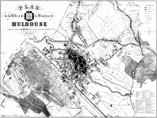
Plan of the City and Suburbs of Mulhouse by J.H. Hofer, Surveyor
Année du plan : 1850
Échelle du plan : 1/5000
Scan to open the map in high resolution, or download it

-
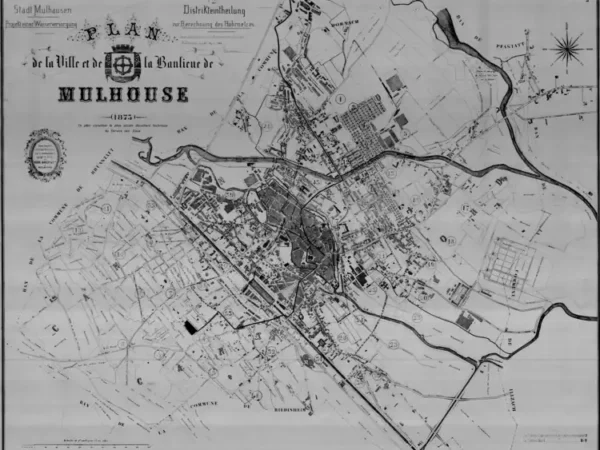
Plan of the City and Suburbs of Mulhouse (the oldest document from the Mulhouse Water Service)
Année du plan : 1873
Échelle du plan : 1/5000
Scan to open the map in high resolution, or download it

-
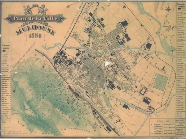
Plan of the City of Mulhouse on cardboard
Année du plan : 1886
Échelle du plan : 1/10000
Scan to open the map in high resolution, or download it

-
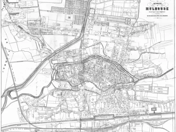
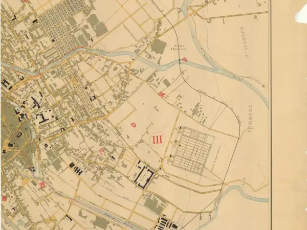
Plan of the City of Mulhouse – North – completed by the Municipal Public Works Department
Année du plan : 1886
Échelle du plan : 1/5000
Scan to open the map in high resolution, or download it

-
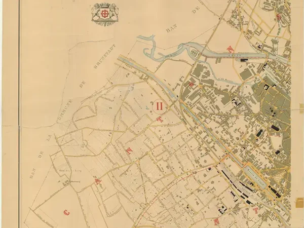
Plan of the City of Mulhouse – South – completed by the Municipal Public Works Department
Année du plan : 1886
Échelle du plan : 1/5000
Scan to open the map in high resolution, or download it

-
Plan of the City of Mülhausen
Année du plan : 1896
Échelle du plan : 1/10000
Scan to open the map in high resolution, or download it

-
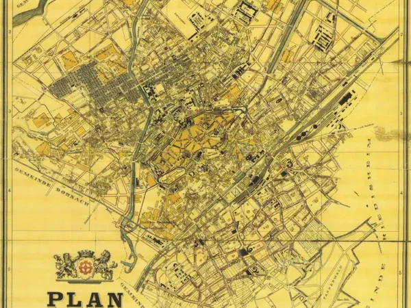
Plan of the City of Mülhausen
Année du plan : 1903
Échelle du plan : 1/5000
Scan to open the map in high resolution, or download it

-
Plan of Mülhausen
Année du plan : 1910
Échelle du plan : 1/5125
Scan to open the map in high resolution, or download it

-
Overview Map of the City of Mülhausen and Surroundings – North-West
Année du plan : 1911
Échelle du plan : 1/4000
Scan to open the map in high resolution, or download it

-
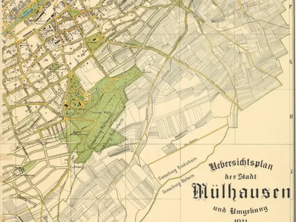
Overview Map of the City of Mülhausen and Surroundings – South-East
Année du plan : 1911
Échelle du plan : 1/4000
Scan to open the map in high resolution, or download it

-
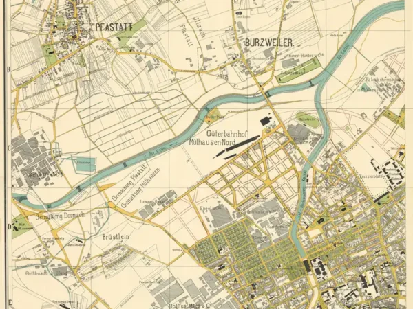
Overview Map of the City of Mülhausen and Surroundings – North-East
Année du plan : 1911
Échelle du plan : 1/4000
Scan to open the map in high resolution, or download it

-
Overview Map of the City of Mülhausen and Surroundings – South-West
Année du plan : 1911
Échelle du plan : 1/4000
Scan to open the map in high resolution, or download it

-
Overview Map of the City of Mülhausen and Surroundings
Année du plan : 1912
Échelle du plan : 1/8000
Scan to open the map in high resolution, or download it

-
Plan of the City of Mulhouse (1919) with the urban limit set by prefectural decree dated 11/22/1924
Année du plan : 1919
Échelle du plan : 1/12500
Scan to open the map in high resolution, or download it

-
Plan of the City of Mulhouse with the tramway network
Année du plan : 1934
Échelle du plan : 1/8000
Scan to open the map in high resolution, or download it

-
Plan of the City of Mülhausen in Alsace
Année du plan : 1943
Échelle du plan : 1/15000
Scan to open the map in high resolution, or download it

-
Plan of the City of Mülhausen in Alsace, with neighborhood boundaries
Année du plan : 1943
Échelle du plan : 1/15000
Scan to open the map in high resolution, or download it

