Mulhouse, yüzyılların tanığı
Kelt beşiğinden modern şehre: Sürekli hareket halinde bir şehir
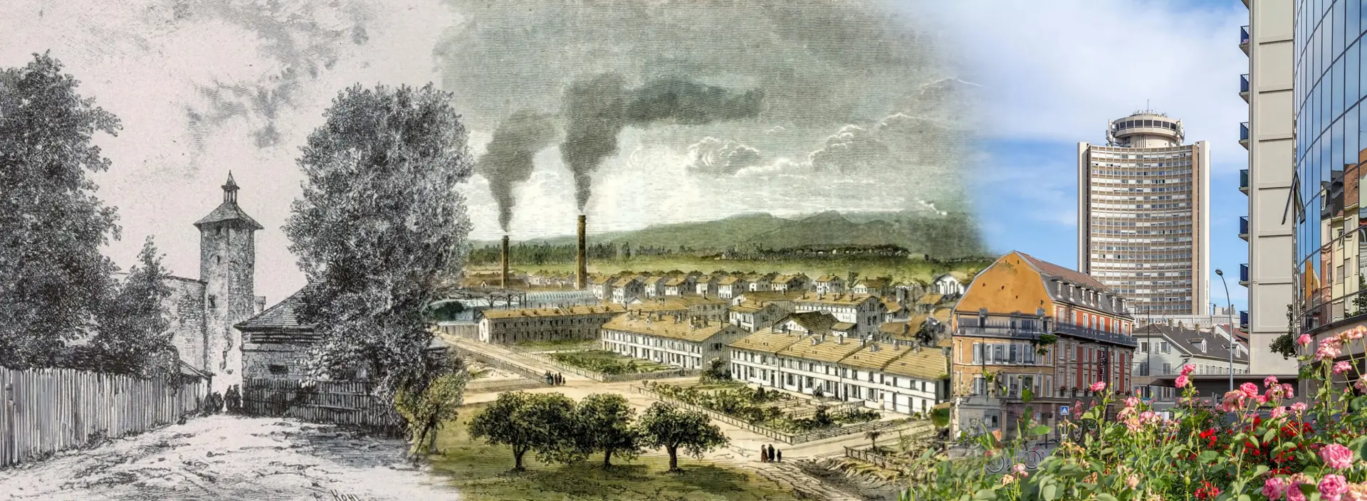
Mulhouse'un büyüleyici tarihini keşfedin; MÖ 1000'deki Keltik kökenlerinden büyük endüstriyel rolüne ve 2024'teki son ekolojik dönüşümlerine kadar çağları aşan bir şehir. Her dönem kalıcı bir iz bırakmıştır. Bugün, çeşitli ve özverili bir nüfus tarafından desteklenen Mulhouse, kendini sürekli olarak yeniden icat ediyor. Gelenek ve yenilik arasındaki mükemmel dengeyi somutlaştırıyor; her taş ve her sokak, zengin bir geçmişin, dinamik bir bugünün ve umut verici bir geleceğin tanığıdır.
Kaynaklar
Wikipedia - Aéroport international de Bâle-Mulhouse - Mapcarta - Bourtzwille - https://fr.wikipedia.org/wiki/Tramway_de_Mulhouse - Wikipedia - Tram-train Mulhouse Vallée de la Thur - Wikipedia - TGV Rhin-Rhône - FACS - Tram-train et tramways de Mulhouse - m2A - Mulhouse Alsace Agglomération - Tram-train - Wikipedia - Mulhouse Tramway (version allemande) - Le Livre Scolaire - French Moments - Mulhouse History - HAL Archives Ouvertes - Mulhouse and its History - Structurae - Gare de Mulhouse Ville - Histoires et Lieux d'Alsace - VHC magazine - Extrait de L’Histoire de Mulhouse en 111 dates
Mulhouse'un Tarihi Planları
1642'den 1943'e Şehrin Kartografik Evrimi
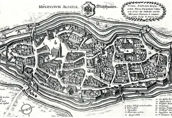
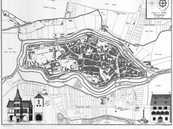
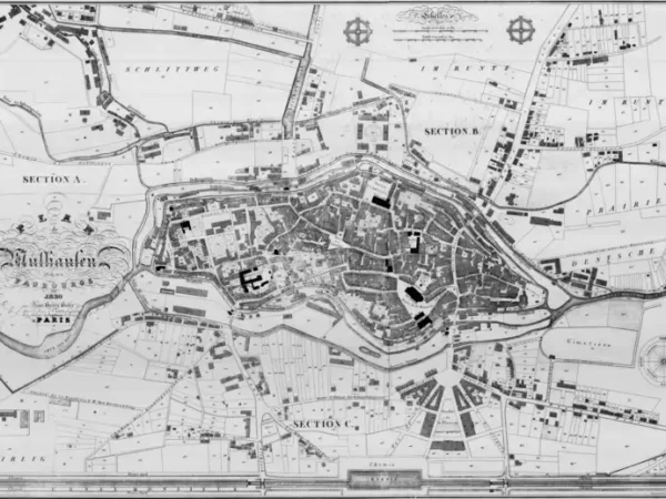
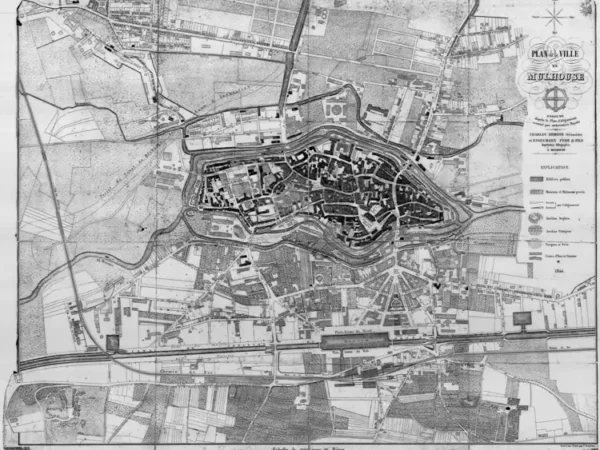
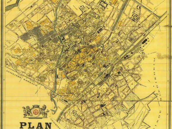
1642 ile 1943 yılları arasında Mulhouse'un dönüşümlerini izleyen tarihi planları keşfedin. Bu haritalar aracılığıyla, şehrin kentsel evrimini keşfedeceksiniz: ilk tahkimatları, 19. yüzyılın endüstriyel genişlemeleri ve iki dünya savaşına bağlı altüst oluşları. Her plan, Mulhouse'un tarihine açılan bir penceredir; sokaklarının, binalarının ve mahallelerinin yüzyıllar boyunca nasıl değiştiğini ortaya koyarak sürekli gelişimine tanıklık eder.
- 1642
- 1797
- 1830
- 1844
- 1850
- 1860
- 1873
- 1877
- 1886
- 1886
- 1886
- 1896
- 1903
- 1910
- 1911
- 1911
- 1911
- 1911
- 1912
- 1919
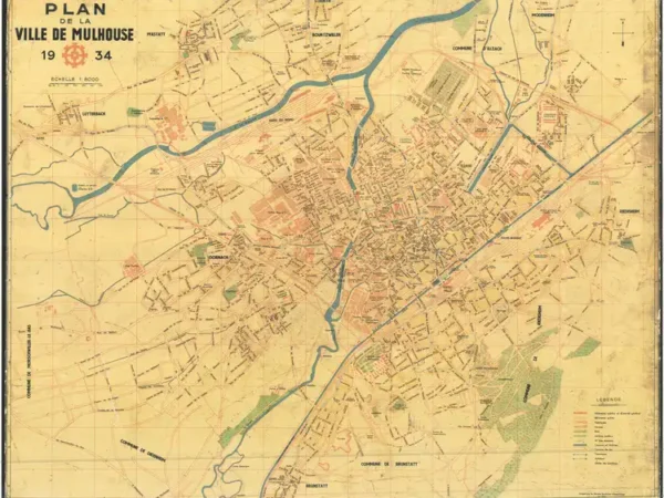
- 1934
- 1943
- 1943
-
Plan of the City of Mulhouse based on the original belonging to the Historical Museum of Mulhouse
Année du plan : 1797
Échelle du plan : 1/2500
Scan to open the map in high resolution, or download it

-
Plan of Mülhausen and its suburbs by Jean-Henri Hofer
Année du plan : 1830
Échelle du plan : 1/20000
Scan to open the map in high resolution, or download it

-
Plan of Mulhouse executed according to the Alignment Plan authorized by royal decree by Charles Edmond, Surveyor, and Engelmann Father & Sons, Lithographic Printers
Année du plan : 1844
Échelle du plan : 1/3300
Scan to open the map in high resolution, or download it

-
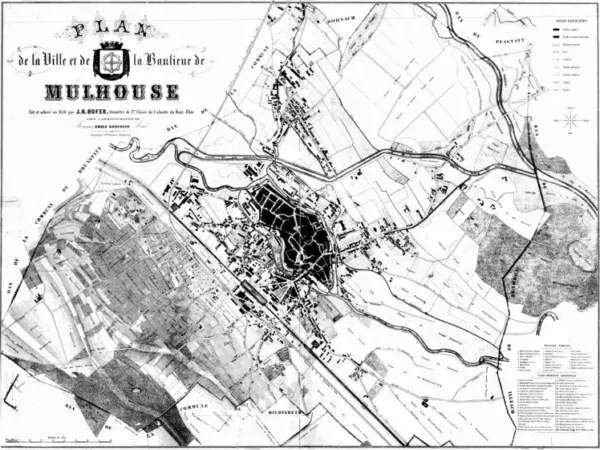
Plan of the City and Suburbs of Mulhouse by J.H. Hofer, Surveyor
Année du plan : 1850
Échelle du plan : 1/5000
Scan to open the map in high resolution, or download it

-
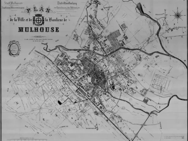
Plan of the City and Suburbs of Mulhouse (the oldest document from the Mulhouse Water Service)
Année du plan : 1873
Échelle du plan : 1/5000
Scan to open the map in high resolution, or download it

-
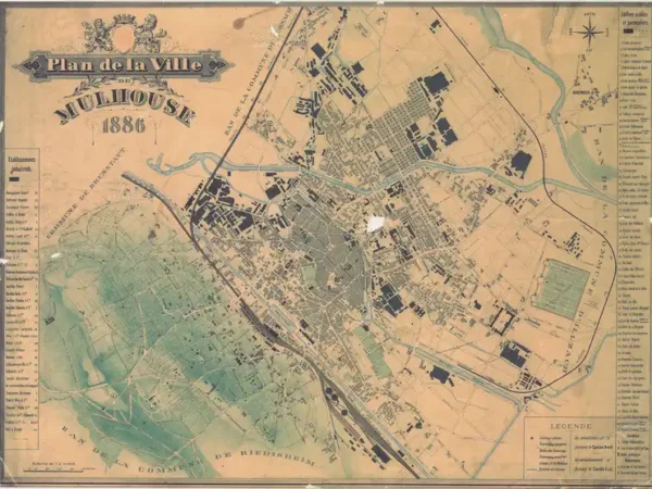
Plan of the City of Mulhouse on cardboard
Année du plan : 1886
Échelle du plan : 1/10000
Scan to open the map in high resolution, or download it

-
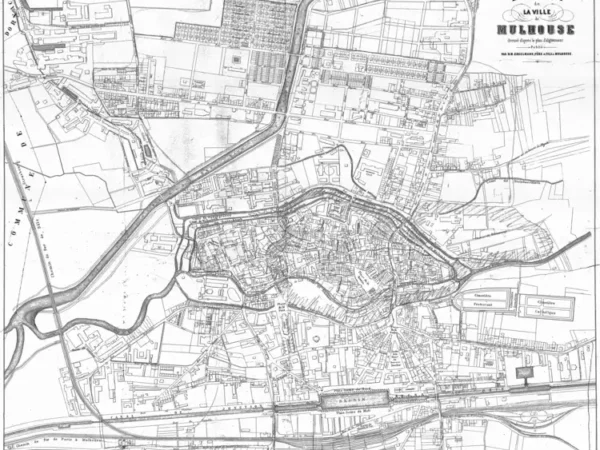
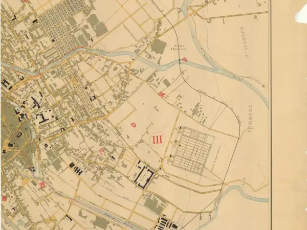
Plan of the City of Mulhouse – North – completed by the Municipal Public Works Department
Année du plan : 1886
Échelle du plan : 1/5000
Scan to open the map in high resolution, or download it

-
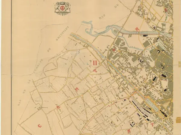
Plan of the City of Mulhouse – South – completed by the Municipal Public Works Department
Année du plan : 1886
Échelle du plan : 1/5000
Scan to open the map in high resolution, or download it

-
Plan of the City of Mülhausen
Année du plan : 1896
Échelle du plan : 1/10000
Scan to open the map in high resolution, or download it

-
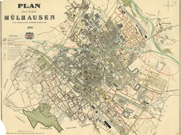
Plan of the City of Mülhausen
Année du plan : 1903
Échelle du plan : 1/5000
Scan to open the map in high resolution, or download it

-
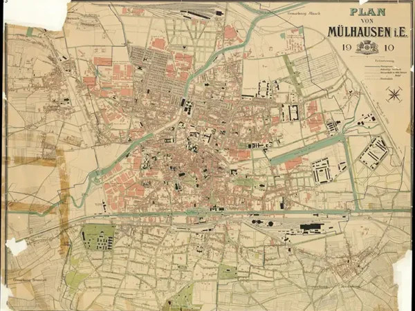
Plan of Mülhausen
Année du plan : 1910
Échelle du plan : 1/5125
Scan to open the map in high resolution, or download it

-
Overview Map of the City of Mülhausen and Surroundings – North-West
Année du plan : 1911
Échelle du plan : 1/4000
Scan to open the map in high resolution, or download it

-
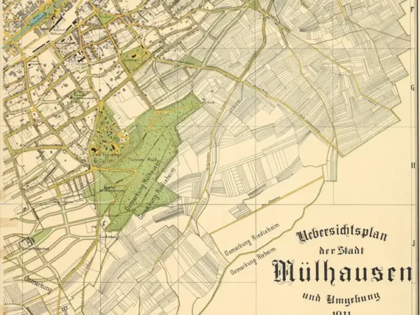
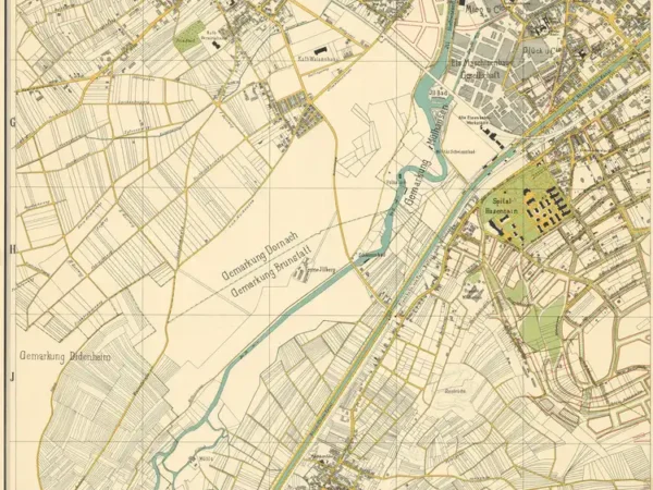
Overview Map of the City of Mülhausen and Surroundings – South-East
Année du plan : 1911
Échelle du plan : 1/4000
Scan to open the map in high resolution, or download it

-
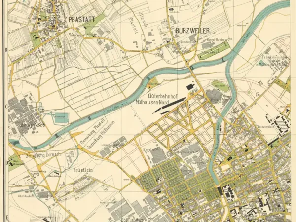
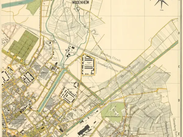
Overview Map of the City of Mülhausen and Surroundings – North-East
Année du plan : 1911
Échelle du plan : 1/4000
Scan to open the map in high resolution, or download it

-
Overview Map of the City of Mülhausen and Surroundings – South-West
Année du plan : 1911
Échelle du plan : 1/4000
Scan to open the map in high resolution, or download it

-
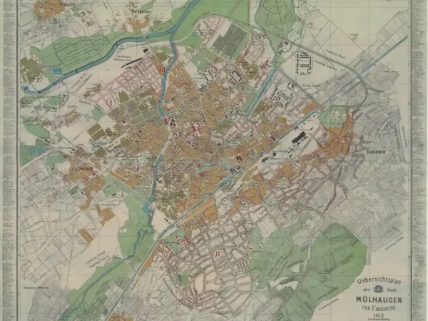
Overview Map of the City of Mülhausen and Surroundings
Année du plan : 1912
Échelle du plan : 1/8000
Scan to open the map in high resolution, or download it

-
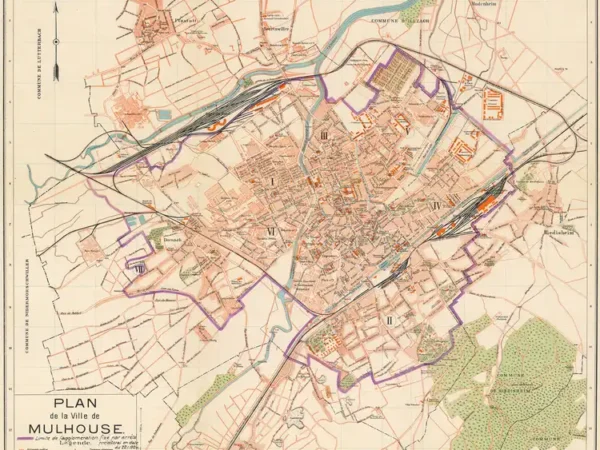
Plan of the City of Mulhouse (1919) with the urban limit set by prefectural decree dated 11/22/1924
Année du plan : 1919
Échelle du plan : 1/12500
Scan to open the map in high resolution, or download it

-
Plan of the City of Mulhouse with the tramway network
Année du plan : 1934
Échelle du plan : 1/8000
Scan to open the map in high resolution, or download it

-
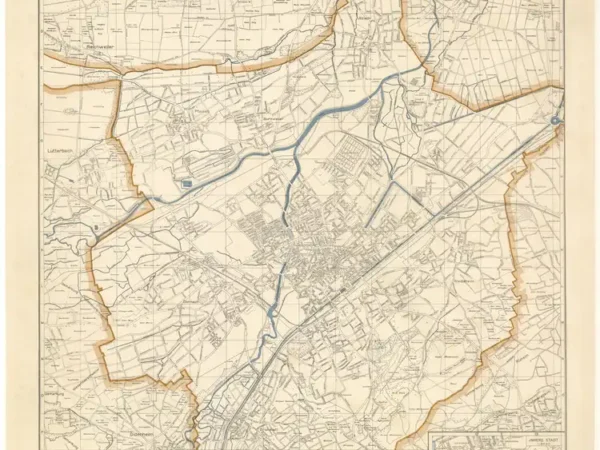
Plan of the City of Mülhausen in Alsace
Année du plan : 1943
Échelle du plan : 1/15000
Scan to open the map in high resolution, or download it

-
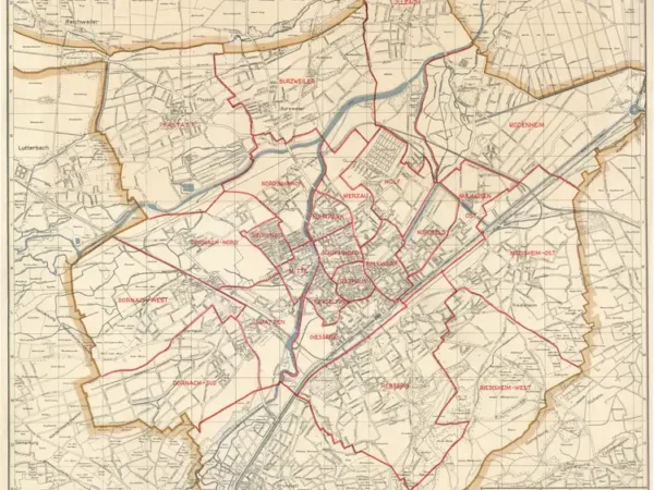
Plan of the City of Mülhausen in Alsace, with neighborhood boundaries
Année du plan : 1943
Échelle du plan : 1/15000
Scan to open the map in high resolution, or download it

