Mulhouse, testimone dei secoli
Dal culla celtica alla città moderna: una città in perpetuo movimento
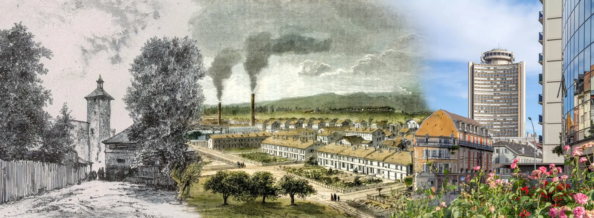
Esplorate l'affascinante storia di Mulhouse, che attraversa i secoli, dalle sue origini celtiche nel 1000 a.C. al suo ruolo industriale di primo piano e alle sue recenti trasformazioni ecologiche nel 2024. Ogni epoca ha lasciato un'impronta duratura. Oggi, Mulhouse, sostenuta da una popolazione diversificata e impegnata, si reinventa incessantemente. Incarna l'equilibrio perfetto tra tradizione e innovazione, dove ogni pietra e ogni strada testimoniano un ricco passato, un presente dinamico e un futuro promettente.
Fonti
Wikipedia - Aéroport international de Bâle-Mulhouse - Mapcarta - Bourtzwille - https://fr.wikipedia.org/wiki/Tramway_de_Mulhouse - Wikipedia - Tram-train Mulhouse Vallée de la Thur - Wikipedia - TGV Rhin-Rhône - FACS - Tram-train et tramways de Mulhouse - m2A - Mulhouse Alsace Agglomération - Tram-train - Wikipedia - Mulhouse Tramway (version allemande) - Le Livre Scolaire - French Moments - Mulhouse History - HAL Archives Ouvertes - Mulhouse and its History - Structurae - Gare de Mulhouse Ville - Histoires et Lieux d'Alsace - VHC magazine - Extrait de L’Histoire de Mulhouse en 111 dates
I Piani Storici di Mulhouse
Evoluzione cartografica della città dal 1642 al 1943
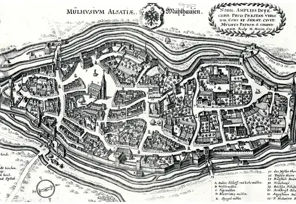
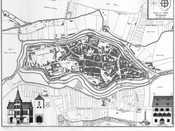
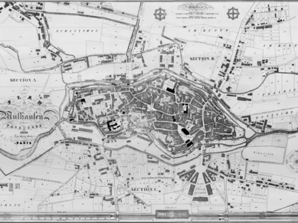
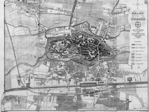
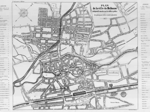
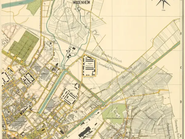
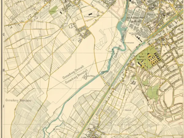
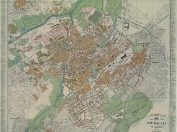
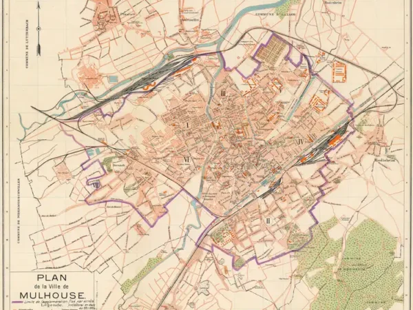
Esplorate i piani storici che tracciano le trasformazioni di Mulhouse tra il 1642 e il 1943. Attraverso queste mappe, scoprirete l'evoluzione urbana della città: le sue prime fortificazioni, le espansioni industriali del XIX secolo e gli sconvolgimenti legati alle due guerre mondiali. Ogni piano è una finestra sulla storia di Mulhouse, rivelando come le sue strade, edifici e quartieri siano cambiati nel corso dei secoli, testimoniando il suo sviluppo costante.
- 1642
- 1797
- 1830
- 1844
- 1850
- 1860
- 1873
- 1877
- 1886
- 1886
- 1886
- 1896
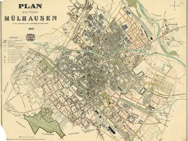
- 1903
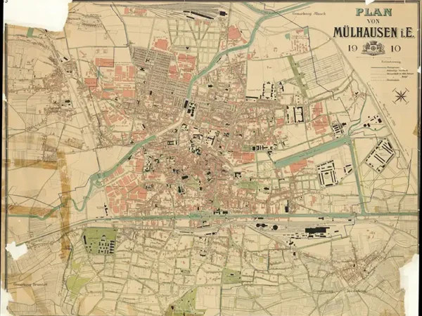
- 1910
- 1911
- 1911
- 1911
- 1911
- 1912
- 1919
- 1934
- 1943
- 1943
-
Plan of the City of Mulhouse based on the original belonging to the Historical Museum of Mulhouse
Année du plan : 1797
Échelle du plan : 1/2500
Scan to open the map in high resolution, or download it

-
Plan of Mülhausen and its suburbs by Jean-Henri Hofer
Année du plan : 1830
Échelle du plan : 1/20000
Scan to open the map in high resolution, or download it

-
Plan of Mulhouse executed according to the Alignment Plan authorized by royal decree by Charles Edmond, Surveyor, and Engelmann Father & Sons, Lithographic Printers
Année du plan : 1844
Échelle du plan : 1/3300
Scan to open the map in high resolution, or download it

-
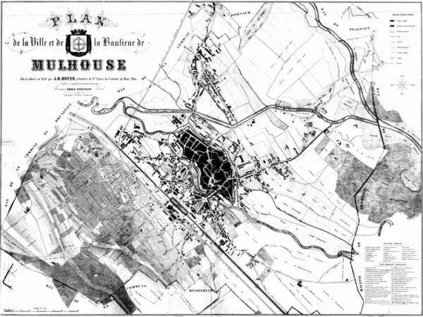
Plan of the City and Suburbs of Mulhouse by J.H. Hofer, Surveyor
Année du plan : 1850
Échelle du plan : 1/5000
Scan to open the map in high resolution, or download it

-
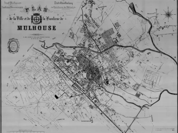
Plan of the City and Suburbs of Mulhouse (the oldest document from the Mulhouse Water Service)
Année du plan : 1873
Échelle du plan : 1/5000
Scan to open the map in high resolution, or download it

-
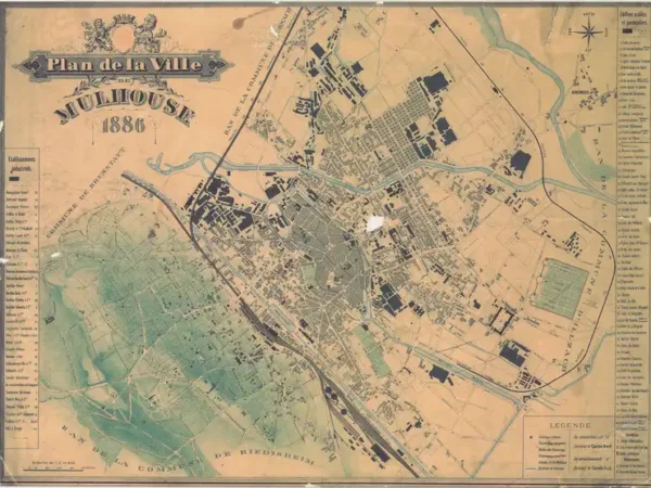
Plan of the City of Mulhouse on cardboard
Année du plan : 1886
Échelle du plan : 1/10000
Scan to open the map in high resolution, or download it

-
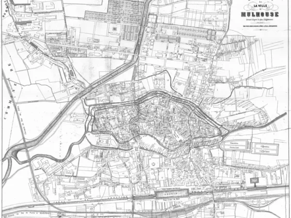
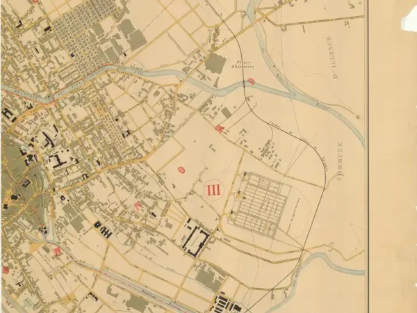
Plan of the City of Mulhouse – North – completed by the Municipal Public Works Department
Année du plan : 1886
Échelle du plan : 1/5000
Scan to open the map in high resolution, or download it

-
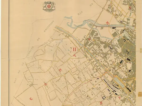
Plan of the City of Mulhouse – South – completed by the Municipal Public Works Department
Année du plan : 1886
Échelle du plan : 1/5000
Scan to open the map in high resolution, or download it

-
Plan of the City of Mülhausen
Année du plan : 1896
Échelle du plan : 1/10000
Scan to open the map in high resolution, or download it

-
Plan of the City of Mülhausen
Année du plan : 1903
Échelle du plan : 1/5000
Scan to open the map in high resolution, or download it

-
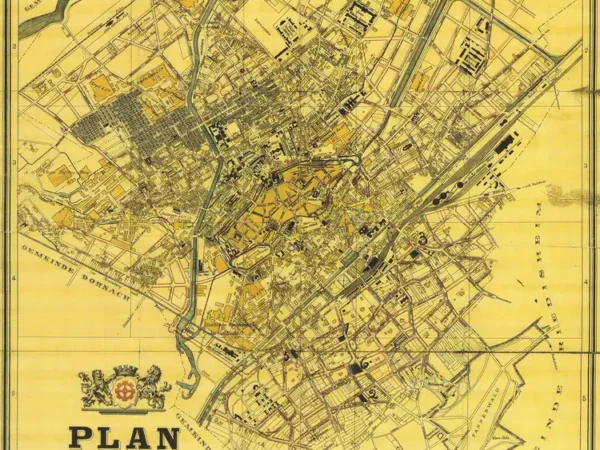
Plan of Mülhausen
Année du plan : 1910
Échelle du plan : 1/5125
Scan to open the map in high resolution, or download it

-
Overview Map of the City of Mülhausen and Surroundings – North-West
Année du plan : 1911
Échelle du plan : 1/4000
Scan to open the map in high resolution, or download it

-
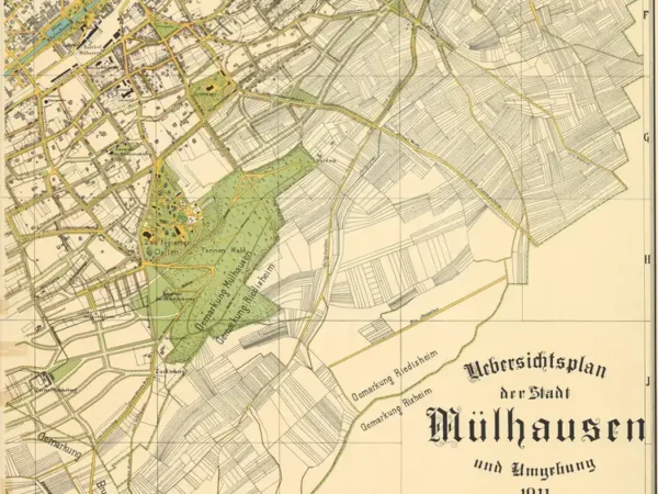
Overview Map of the City of Mülhausen and Surroundings – South-East
Année du plan : 1911
Échelle du plan : 1/4000
Scan to open the map in high resolution, or download it

-
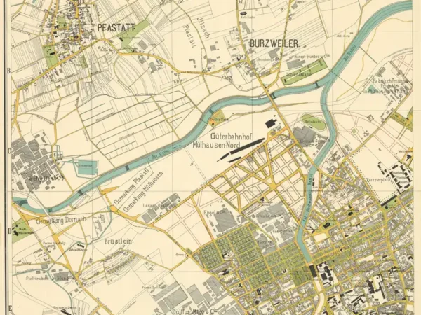
Overview Map of the City of Mülhausen and Surroundings – North-East
Année du plan : 1911
Échelle du plan : 1/4000
Scan to open the map in high resolution, or download it

-
Overview Map of the City of Mülhausen and Surroundings – South-West
Année du plan : 1911
Échelle du plan : 1/4000
Scan to open the map in high resolution, or download it

-
Overview Map of the City of Mülhausen and Surroundings
Année du plan : 1912
Échelle du plan : 1/8000
Scan to open the map in high resolution, or download it

-
Plan of the City of Mulhouse (1919) with the urban limit set by prefectural decree dated 11/22/1924
Année du plan : 1919
Échelle du plan : 1/12500
Scan to open the map in high resolution, or download it

-
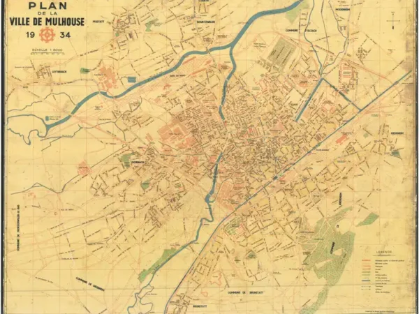
Plan of the City of Mulhouse with the tramway network
Année du plan : 1934
Échelle du plan : 1/8000
Scan to open the map in high resolution, or download it

-
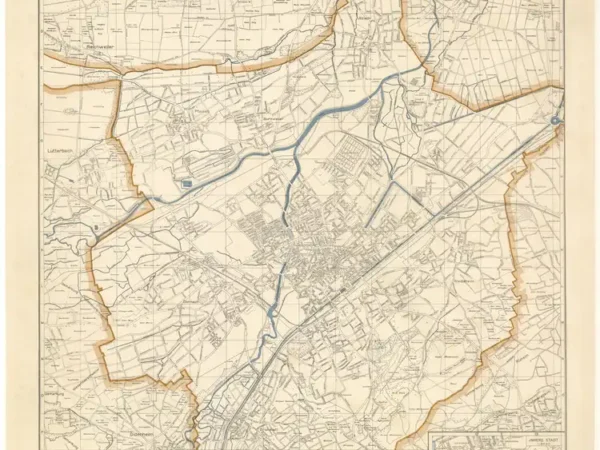
Plan of the City of Mülhausen in Alsace
Année du plan : 1943
Échelle du plan : 1/15000
Scan to open the map in high resolution, or download it

-
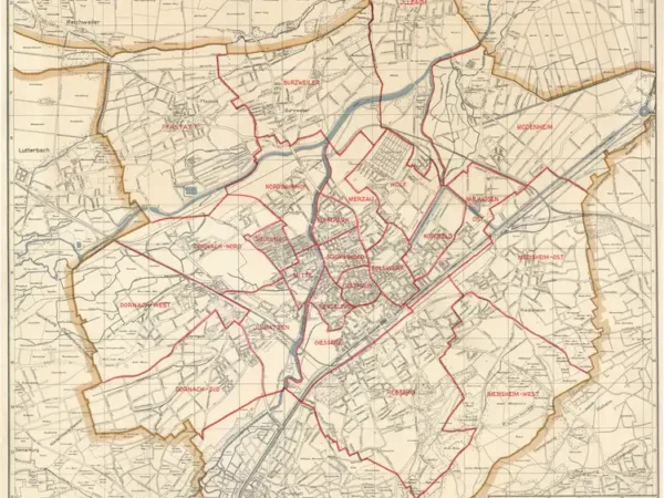
Plan of the City of Mülhausen in Alsace, with neighborhood boundaries
Année du plan : 1943
Échelle du plan : 1/15000
Scan to open the map in high resolution, or download it

